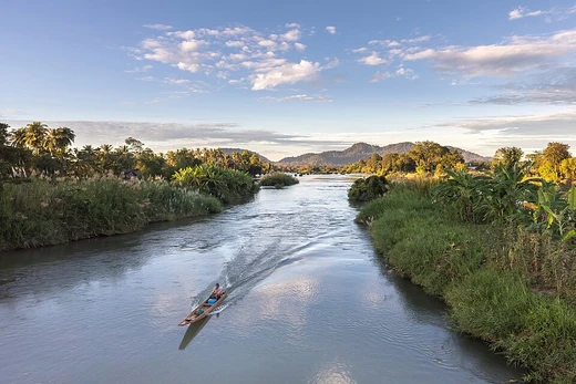
São Francisco River
Longest river entirely in Brazil, vital for integration and semi-arid region.

via Wikipedia: São Francisco River · see source
The São Francisco River (Portuguese: Rio São Francisco), known in English as the San Francisco River, is a large river in Brazil. With a length of 2,914 kilometres (1,811 mi), it is the longest river that runs entirely in Brazilian territory, and the fourth longest in South America and overall in Brazil (after the Amazon, the Paraná and the Madeira). It is also locally known as the Velho Chico, and was once known as the Opara by the Indigenous people before colonization. It is an important river for Brazil, called "the river of national integration" because it unites diverse climates and regions of the country, in particular the Southeast with the Northeast. It is also significant because it passes through the semi-arid region of the country, a region historically characterized by droughts and low access to water.
- length
- 2,914 km (1,811 mi)
- drainage_area
- over 630,000 km² (240,000 sq mi)
- origin
- Canastra mountain range, Minas Gerais, Brazil
- mouth
- Atlantic Ocean, between Alagoas and Sergipe
- navigable_stretch
- 1,371 km (852 mi) between Pirapora and Petrolina/Juazeiro
- named_for
- Saint Francis of Assisi, first seen by Europeans on his feast day (4 October) in
Verified Timeline
Lore & Background
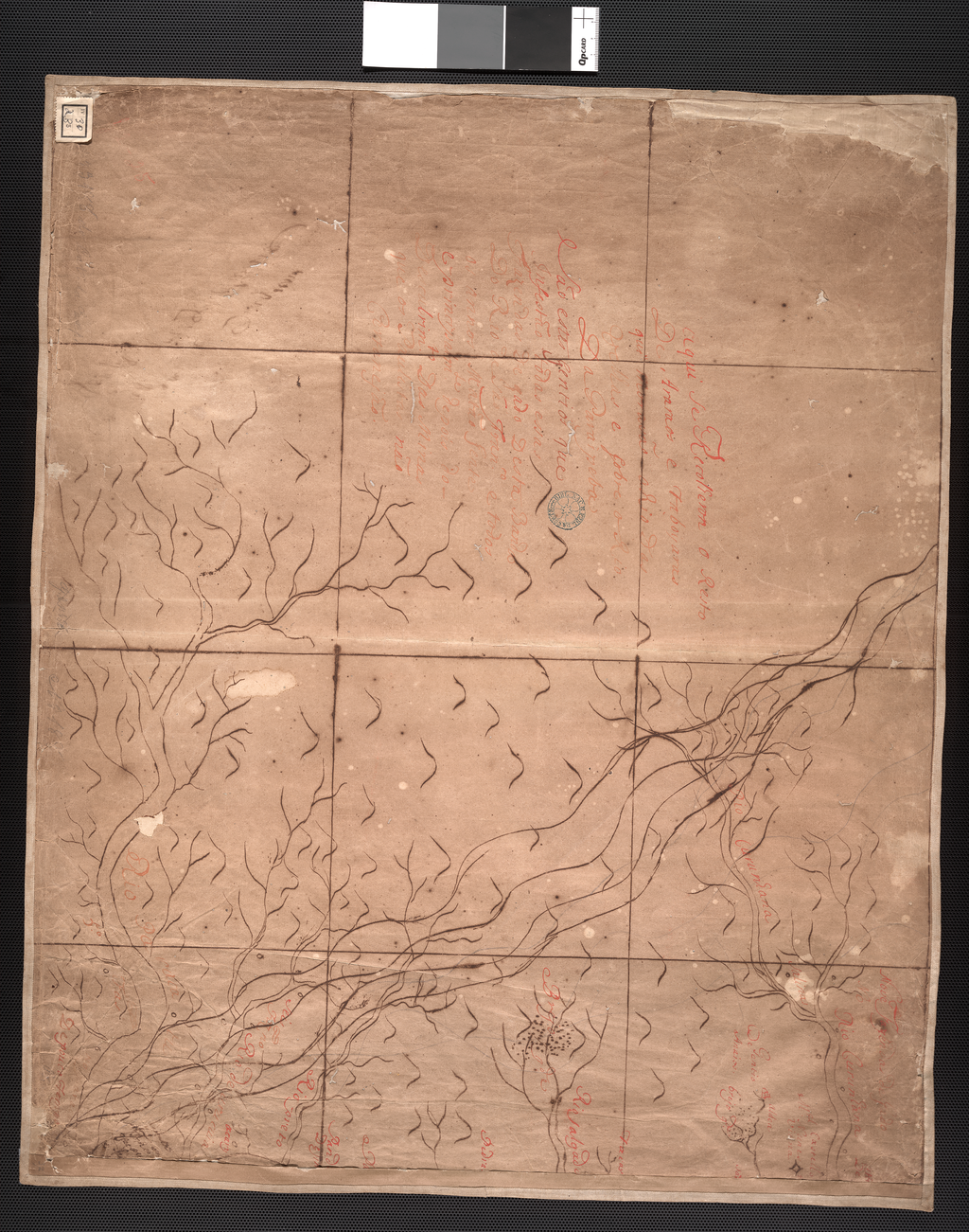
The São Francisco originates in the Canastra mountain range in the central-western part of the state of Minas Gerais. It runs generally north in the states of Minas Gerais and Bahia, behind the coastal range, draining an area of over 630,000 square kilometres (240,000 sq mi), before turning east to form the border between Bahia on the right bank and the states of Pernambuco and Alagoas on the left one. After that, it ends on the boundaries between the states of Alagoas and Sergipe and washes into the Atlantic Ocean. In addition to the five states which the São Francisco directly traverses or borders, its drainage basin also includes tributaries from the state of Goiás and the Federal District. The course of the river may be divided into four sections: the high part, from its source to Pirapora in Minas Gerais; the upper middle part, from Pirapora up to Remanso (Bahia) and the Sobradinho Dam; the lower middle part, from the Sobradinho dam to Paulo Afonso, also in Bahia, ending at the Itaparica Dam; and the low part, from Paulo Afonso to the river's mouth on the Atlantic Ocean. The river obtains water from 168 rivers and streams, of which 90 are on the right bank and 78 on the left bank.
Reader's Guide
The São Francisco has great importance in history and particularly in folklore. That history is celebrated in song, legend and souvenirs based on the carrancas, a kind of gargoyle placed on the prow of the gaiola boats and intended to scare away river demons from the boat. The Italian explorer Amerigo Vespucci first saw the river on 4 October 1501. In 1865 the British explorer and diplomat Richard Francis Burton was transferred to Santos in Brazil; he explored the central highlands, canoeing down the São Francisco river from its source to the falls of Paulo Afonso. The river's hydroelectric potential started being harnessed in 1955, when the Paulo Afonso dam was built between Bahia and Alagoas. Four other large hydroelectric plants were later built: Três Marias in Minas Gerais, built in 1961; Sobradinho in Bahia, built in 1977; Luiz Gonzaga (Itaparica), between Bahia and Pernambuco, in 1988; and the Xingó near Piranhas in 1994. The Sobradinho reservoir is one of the largest artificial lakes in the world, with an area of 4,214 square kilometres (1,627 sq mi). The São Francisco is naturally navigable all through the year between Pirapora (Minas Gerais) and the twin cities of Petrolina (Pernambuco) and Juazeiro (Bahia), a length of 1,371 kilometres (852 mi). Until recent years, the São Francisco was regularly navigated by a type of passenger boat called gaiola. After the Sobradinho dam was built, conditions of navigability were altered considerably; deforestation and excessive agricultural use also reduced water flow, creating sand banks and islands. As of 2009, a single boat, the Benjamim Guimarães, remains in activity, making short-distance tourist cruises from Pirapora to São Romão and back.
Did You Know?
- The São Francisco River is the longest river that runs entirely in Brazilian territory, at 2,914 kilometres (1,811 mi).
- It was first seen by Europeans on 4 October 1501 by Italian explorer Amerigo Vespucci.
- The river is locally known as Velho Chico, which translates to 'Old Frank'.
- More than 200 fish species are known from the São Francisco River basin, with about 64% being endemic.
- The Sobradinho reservoir, created by a dam built in 1977, is one of the largest artificial lakes in the world, covering 4,214 square kilometres (1,627 sq mi).
Geography and Course
The São Francisco River stretches 2,914 kilometres, making it the longest watercourse that flows entirely within Brazilian borders and the fourth longest in both South America and Brazil, trailing only the Amazon, Paraná, and Madeira. Its journey begins in the Canastra mountain range in central-western Minas Gerais, where it initially heads northward through Minas Gerais and Bahia, running behind the coastal range. The river drains a vast basin exceeding 630,000 square kilometres before pivoting eastward to serve as a natural boundary, with Bahia on its right bank and Pernambuco and Alagoas on the left. Its final stretch terminates at the border between Alagoas and Sergipe, where it empties into the Atlantic Ocean. Beyond the five states it directly crosses or borders, its tributary network extends into Goiás and the Federal District. Hydrologically, the course is conventionally split into four segments: the high section from source to Pirapora, the upper middle stretch from Pirapora to the Sobradinho Dam near Remanso, the lower middle section from Sobradinho to the Itaparica Dam at Paulo Afonso, and the low section from Paulo Afonso to the sea.
Names, Discovery, and Early Exploration
Before European contact, the river carried names in now-extinct Indigenous languages: Kaleshí in Tuxá and Opára in Natú. The Portuguese later christened it after Saint Francis of Assisi, a reference to the date of its first European sighting. On 4 October 1501, the feast day of the saint, the Italian explorer Amerigo Vespucci became the first European to lay eyes on the waterway. Centuries later, in 1865, the British explorer and diplomat Richard Francis Burton, newly transferred to Santos, ventured into the central highlands and canoeed the entire length of the river from its source down to the falls at Paulo Afonso. The basin was once home to a rich tapestry of languages, including Tuxá, Truká, Natú, Kariri, eastern Maxakalían, and Jê tongues, alongside various unclassified languages that have since vanished. Today, Brazilians affectionately call the river Velho Chico, a colloquial rendering meaning 'Old Frank,' where chico is a diminutive of Francisco, the Portuguese form of Francis. This endearing nickname persists alongside the formal name in everyday speech across the states the river touches.
Navigability and the Age of the Gaiolas
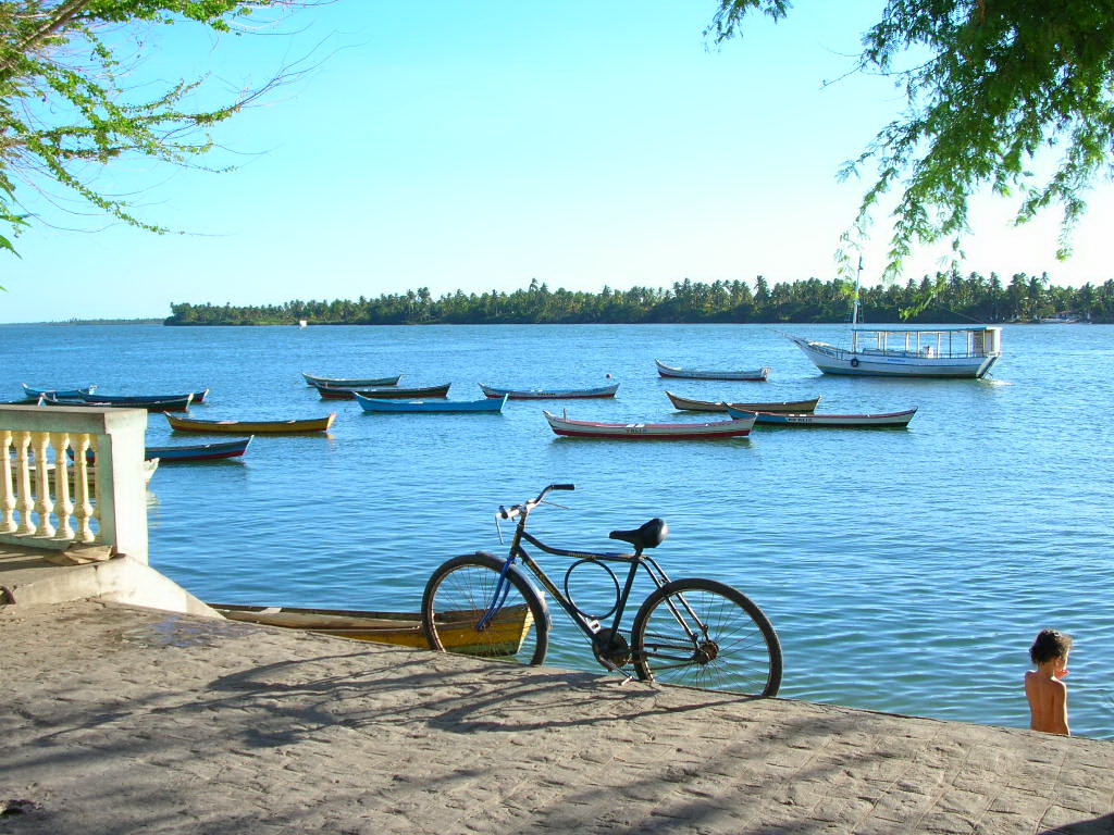
For much of its history, the São Francisco served as a vital waterway for transport. The stretch between Pirapora in Minas Gerais and the twin cities of Petrolina and Juazeiro spans 1,371 kilometres of naturally navigable water, though depth fluctuates significantly with rainfall. This reach divides into three substretches: a variable-depth section from Pirapora to Pilão Arcado where height differences up to six metres can occur; the expansive Sobradinho reservoir, a 314-kilometre-long lake covering 4,214 square kilometres; and a final 42-kilometre segment sustained by a flow of roughly 1,500 cubic metres per second. The river's most iconic vessels were the gaiolas, paddle-wheel steamboats some of which had originally plied the Mississippi during the American Civil War era. The construction of the Sobradinho Dam, however, transformed the waterway. The enormous reservoir generated short but powerful waves that made passage treacherous for the large gaiolas. Compounding this, deforestation and intensive agriculture upstream reduced flows, spawning sand banks and islands that hindered navigation. Within a short period the great riverboats could no longer operate. Their hulls still line the banks at Pirapora, and as of 2009 only one vessel, the Benjamim Guimarães, remained in service, running tourist cruises between Pirapora and São Romão.
Ecology and Biodiversity
The São Francisco basin supports a remarkable aquatic ecosystem. More than 200 fish species have been documented in its waters, and researchers anticipate that additional species await discovery, particularly in the relatively unexplored upper reaches of the river. The ecological significance is underscored by the fact that approximately 64 percent of these species are endemic, found nowhere else on Earth. Among them are Conorhynchos conirostris, a catfish of uncertain taxonomic affinities; Lophiosilurus alexandri, a flattened catfish; Franciscodoras marmoratus, an armoured catfish; Pygocentrus piraya, the largest known species of piranha; and Orthospinus franciscensis, a characin that stands as the sole member of its genus. Yet this biodiversity faces pressure: roughly 10 percent of known species are classified as threatened, while about 13 percent hold importance in local fisheries. The river is fed by 168 tributaries—90 on the right bank and 78 on the left—including major streams such as the Paraopeba, Abaeté, Das Velhas, Jequitaí, Paracatu, Urucuia, Verde Grande, Carinhanha, Corrente, and Grande rivers. The basin's passage through Brazil's semi-arid region, historically plagued by drought and limited water access, adds an extra layer of vulnerability to its aquatic life.
Gallery
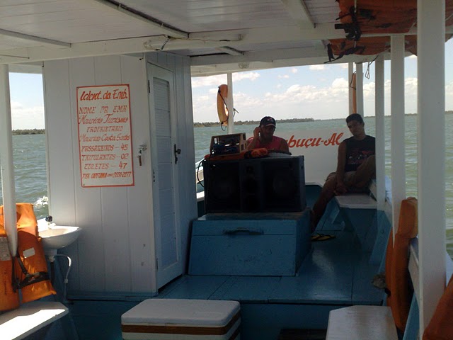
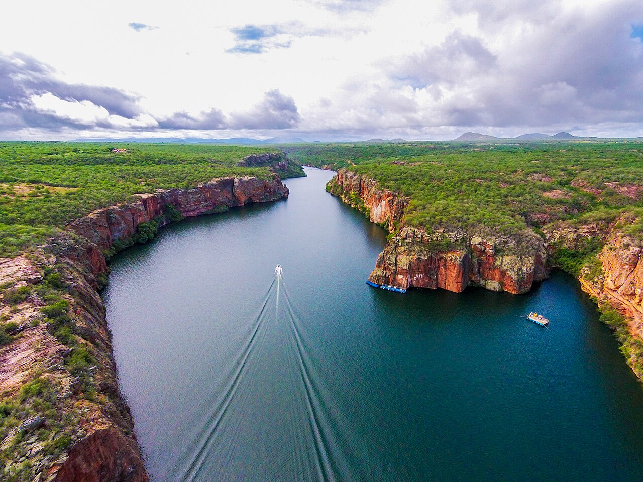
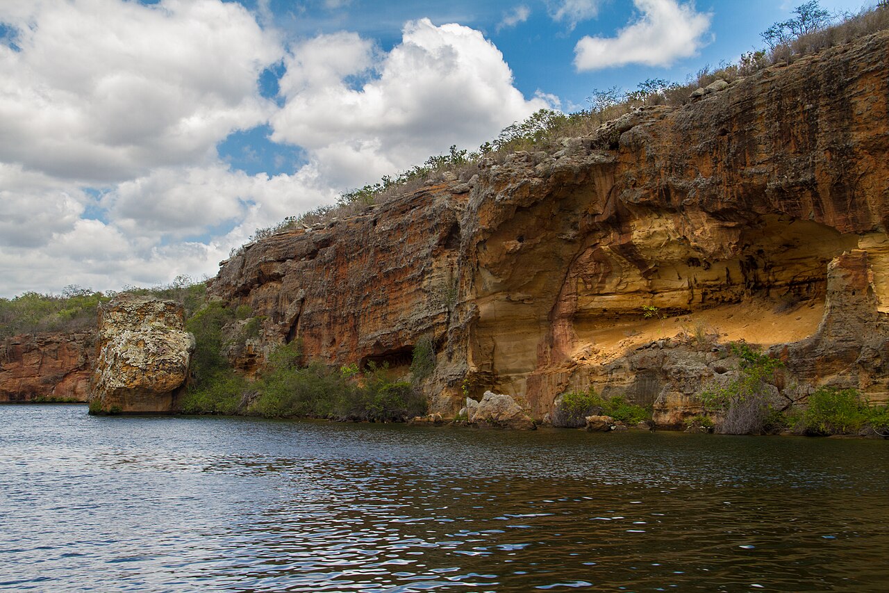
Frequently Asked Questions
What is the São Francisco River?
It is a major Brazilian river stretching 2,914 km, making it the longest watercourse that flows entirely within the country's borders. It drains more than 630,000 square kilometers of land and ranks as the fourth-longest river in South America.
Where does the São Francisco River begin and where does it empty?
The river rises in the Canastra mountain range of Minas Gerais and ultimately discharges into the Atlantic Ocean at the border between Alagoas and Sergipe. Its course carries it from the southeastern highlands across the semi-arid northeast.
Why is the São Francisco River called 'the river of national integration'?
The nickname reflects how the waterway physically links Brazil's Southeast and Northeast, threading through vastly different climates and communities along its length. It also serves as a critical water source sustaining agriculture and life in the otherwise dry northeastern interior.
How did the São Francisco River get its name?
European explorers first sighted the river on 4 October 1501, the feast day of Saint Francis of Assisi, and named it in his honor. Before colonization, Indigenous peoples called it Opara, and locals still affectionately refer to it as Velho Chico.
How much of the São Francisco River is navigable?
A 1,371 km stretch between Pirapora and the Petrolina/Juazeiro area supports regular navigation. This makes it one of Brazil's most important inland waterways for commercial transport and regional commerce.
More in Rivers 1-16
Spotted an error? Know more?
This is a living reference — every entry is fact-audited, and reader corrections feed straight into our audit queue. Suggest an edit · See this site's audit record