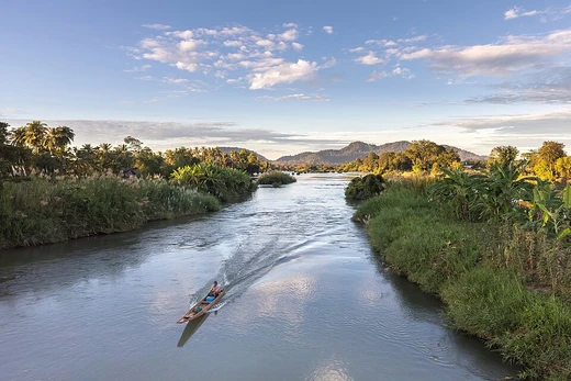
St. Lawrence River
Major North American river connecting the Great Lakes to the Atlantic Ocean.

via Wikipedia: St. Lawrence River · see source
The St. Lawrence River is a large international river in the middle latitudes of North America connecting the Great Lakes with the North Atlantic Ocean. Its waters flow in a northeasterly direction from Lake Ontario to the Gulf of St. Lawrence, traversing Ontario and Quebec in Canada and New York in the United States. A portion of the river demarcates the Canada–United States border. As the primary drainage outflow of the Great Lakes Basin, the St. Lawrence has the second-highest discharge of any river in North America (after the Mississippi River) and the 16th-highest in the world. The estuary of the St. Lawrence is often cited by scientists as the largest in the world.
- length
- 3,058 km from farthest headwater to mouth; 1,197 km from Lake Ontario outflow
- discharge
- 16,800 m³/s below Saguenay River; 12,101 m³/s at Quebec City; 7,410 m³/s at Lake
- drainage_area
- 1,344,200 km² (839,200 km² in Canada; 505,000 km² in the United States)
- source
- North River in the Mesabi Range at Hibbing, Minnesota
- mouth
- Gulf of St. Lawrence
- countries
- Canada and the United States
- known_for
- Second-highest discharge in North America; largest estuary in the world; key tra
Lore & Background
The river has historically been given a variety of different names by local First Nations. Beginning in the 16th century, French explorers visited what is now Canada and gave the river names such as the Grand fleuve de Hochelaga and the Grande rivière du Canada. The river's present name has been used since 1604 when it was recorded on a map by Samuel de Champlain. Champlain opted for the names Grande riviere de sainct Laurens and Fleuve sainct Laurens in his writings, supplanting the earlier names. The name Saint-Laurent was originally applied to the eponymous bay by Jacques Cartier upon his arrival into the region on the 10th of August feast day for Saint Lawrence in 1535. Indigenous people use the following names: Innu-aimun refer to it as Wepistukujaw Sipo/Wepìstùkwiyaht sīpu; the Abenaki call it Moliantegok/Moliantekw, Kchitegw/Ktsitekw/Gicitegw, or Oss8genaizibo/Ws8genaisibo/Wsogenaisibo; in Mohawk language it is Roiatatokenti, Raoteniateara, Ken'tarókwen, or Kaniatarowanénhne; Tuscarora people call it Kahnawáˀkye or Kaniatarowanenneh; Algonquin people call it "the Walking Path" or Magtogoek, or Kitcikanii sipi; the Wendat Nation call it Lada8anna or Laooendaooena'; the Atikamekw refer to it as Micta sipi. Flowing through and adjacent to numerous Indigenous homelands, the river was a primary thoroughfare for many peoples. Beginning in Dawnland at the Gulf of St. Lawrence, the river borders Mi'kma'ki in the South and Nitassinan in the North. On the south shore beyond the Mi'kmaw district of Gespe'gewa'ki, the river passes Wolastokuk, Pαnawαhpskewahki, and Ndakinna. Continuing, the river passes through the former country of the St. Lawrence Iroquois and then three of the six homelands of the Haudenosaunee: the Mohawk, the Oneida, and the Onondaga. In the early 17th century, the Wendat Nation migrated from Huronia to Nionwentsïo, occupying both shores of the river.
Reader's Guide
The St. Lawrence River begins at the outflow of Lake Ontario and flows adjacent to Cape Vincent, Gananoque, Clayton, Alexandria Bay, Brockville, Morristown, Ogdensburg, Massena, Cornwall, Montreal, Trois-Rivières, and Quebec City before draining into the Gulf of St. Lawrence. The estuary begins at the eastern tip of Île d'Orléans, just downstream from Quebec City. The river becomes tidal around Quebec City. The St. Lawrence River runs 3,058 kilometres from the farthest headwater to the mouth and 1,197 kilometres from the outflow of Lake Ontario. The farthest headwater is the North River in the Mesabi Range at Hibbing, Minnesota. Its drainage area is 1,344,200 square kilometres, of which 839,200 km² is in Canada and 505,000 km² is in the United States. The average discharge below the Saguenay River is 16,800 cubic metres per second; at Quebec City, it is 12,101 m³/s; at the outflow of Lake Ontario, it is 7,410 m³/s. Significant natural landmarks include the 1,864 river islands of the Thousand Islands, the endangered whales of Saguenay–St. Lawrence Marine Park, and the limestone monoliths of the Mingan Archipelago. The river encompasses four archipelagoes: the Thousand Islands chain, the Hochelaga Archipelago, the Lake St. Pierre Archipelago, and the smaller Mingan Archipelago. The St. Lawrence River is in a seismically active zone where fault reactivation is believed to occur along late Proterozoic to early Paleozoic normal faults related to the opening of the Iapetus Ocean. The biodiversity includes 19 species of marine mammals, more than 230 species of birds, nearly 35 species of amphibians and reptiles, 200 species of freshwater and saltwater fish, 2200 invertebrates in the estuary and its gulf, and nearly 2000 vascular plants. Thirteen species of cetaceans frequent the waters, including the beluga whale, blue whale, humpback whale, and fin whale.
Did You Know?
- The St. Lawrence River has the second-highest discharge of any river in North America, after the Mississippi River.
- The estuary of the St. Lawrence is often cited by scientists as the largest in the world.
- The river's present name has been used since 1604 when it was recorded on a map by Samuel de Champlain.
- The name Saint-Laurent was originally applied to the bay by Jacques Cartier upon his arrival on the 10th of August feast day for Saint Lawrence in 1535.
- The St. Lawrence River includes 1,864 river islands in the Thousand Islands chain.
Gallery
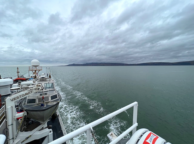
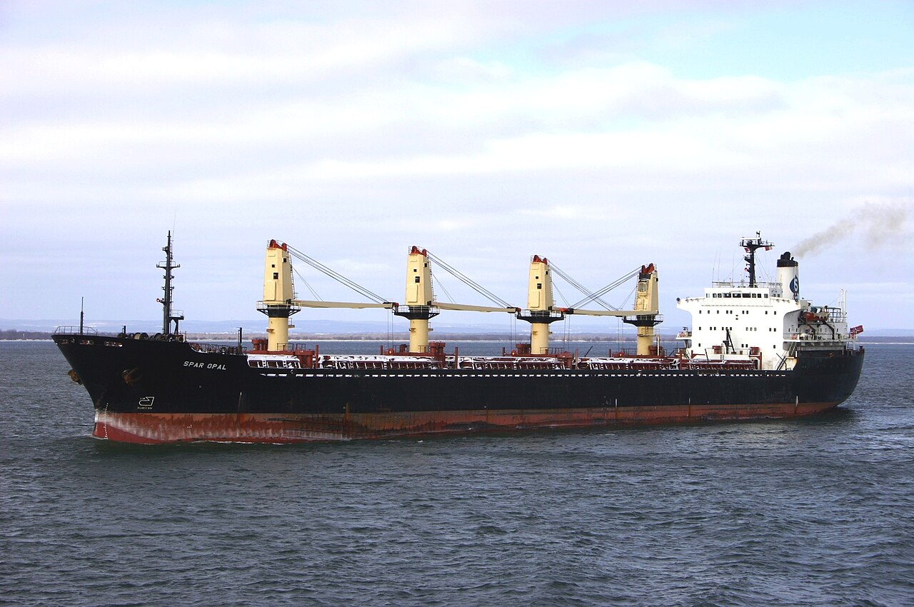
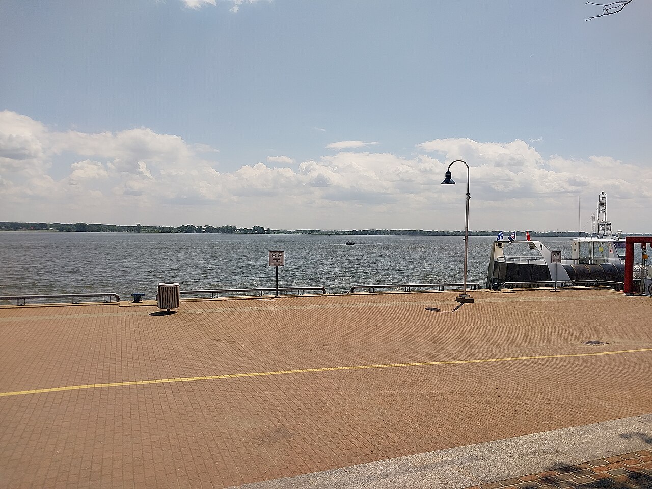
Frequently Asked Questions
Who is St. Lawrence River?
The St. Lawrence River is a major international waterway in North America that links the Great Lakes system to the North Atlantic Ocean. It stretches roughly 3,058 km from its farthest headwater in Minnesota to its mouth at the Gulf of St. Lawrence, threading through Ontario, Quebec, and New York.
What are St. Lawrence River's powers/role?
It acts as the primary drainage outflow for the entire Great Lakes Basin, pushing up to 16,800 m³/s of water past the Saguenay confluence. That volume makes it the second-largest river by discharge in North America and the 16th-highest on the planet.
How does St. Lawrence River's story end?
The river's journey concludes where it spills into the Gulf of St. Lawrence and opens onto the North Atlantic. From its outflow at Lake Ontario, it travels about 1,197 km in a northeasterly direction before reaching that final mouth.
Why is St. Lawrence River important?
It has been a critical artery in Canadian history and shaped the growth of major cities like Montreal and Quebec City. Its drainage basin covers over 1.3 million km² split between Canada and the United States, making it a shared natural resource of enormous economic and ecological value.
Where does St. Lawrence River begin?
Its farthest headwater traces back to the North River in the Mesabi Range near Hibbing, Minnesota. From there the water eventually feeds into the Great Lakes before the river proper begins its northeasterly run out of Lake Ontario.
More in Rivers 1-16
Spotted an error? Know more?
This is a living reference — every entry is fact-audited, and reader corrections feed straight into our audit queue. Suggest an edit · See this site's audit record