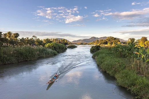
Songhua River
Longest tributary of the Amur River in northeastern China.

via Wikipedia: Songhua River · see source
The Songhua or Sunghwa River (also Haixi or Xingal, Russian: Сунгари, romanized: Sungari) is one of the primary rivers of China, and the longest tributary of the Amur. It flows about 1,897 km (1,179 mi) from Changbai Mountains on the China–North Korea border through China's northeastern Jilin and Heilongjiang provinces. The river drains 557,180 km² (215,130 mi²) of land, and has an annual discharge of 76.2 km³/a (2,410 m³/s) to 81.77 km³/a (2,591 m³/s). The extreme flatness of the Northeast China Plain has caused the river to meander over time, filling the wide plain with oxbow lakes, as remnants of the previous paths of the river.
- length
- 1,897 km (1,179 mi)
- drainage_area
- 557,180 km² (215,130 mi²)
- annual_discharge
- 76.2–81.77 km³/a (2,410–2,591 m³/s)
- source
- South of Heaven Lake, near the China–North Korea border
- mouth
- Joins the Amur River at Tongjiang, Heilongjiang
- major_cities_along_river
- Jilin, Harbin, Jiamusi
Verified Timeline
Lore & Background
The Songhua rises south of Heaven Lake, near the China-North Korea border. From there it flows north, to be interrupted by the Baishan, Hongshi and Fengman hydroelectric dams. The Fengman Dam forms a lake that stretches for 62 kilometers (39 mi). Below the dam, the Second Songhua flows north through Jilin, then northwest until it is joined by its largest tributary, the Nen River, near Da'an, to create the Songhua proper. The Songhua turns east through Harbin, and after the city, it is joined from the south by the Ashi River, and then by the Hulan River from the north. A new dam was constructed in 2007 near Bayan (50 km northeast of Harbin), creating the Dadingshan Reservoir, which is named after the scenic area on the south bank (Chinese: 大頂山; pinyin: dàdǐngshān; lit. 'Big Topped Mountain'). The river flows onward through Jiamusi and south of the Lesser Xing'an Range, to eventually join the Amur at Tongjiang, Heilongjiang.
Reader's Guide
The river freezes from late November until March. It has its highest flows when the mountain snow melts during the spring thaw. The river is navigable up to Harbin by medium-sized ships. Smaller craft can navigate the Songhua up to Jilin and the Nen River up to Qiqihar. Cities along the river include Jilin, Harbin, and Jiamusi. In November 2005, the river was contaminated with benzene, leading to a shutdown of Harbin's water supply. The spill stretched 80 kilometers (50 mi) and eventually reached the Amur (Heilong) River on the China–Russia border. On July 28, 2010, several thousand barrels from two chemical plants in China's Jilin City were washed away by floods. Some of them contained 170 kilograms (370 lb) of explosive material like trimethylsilyl chloride and hexamethyldisiloxane. In 2016, the part near the city of Jilin was affected by a minor flood.
Did You Know?
- The Songhua is the longest tributary of the Amur River, flowing about 1,897 km.
- The Fengman Dam creates a lake that stretches for 62 kilometers (39 mi).
- In November 2005, a benzene contamination stretched 80 kilometers and shut down Harbin's water supply.
- On July 28, 2010, floods washed away thousands of barrels from chemical plants in Jilin City, some containing 170 kg of explosive material.
- The river freezes from late November until March.
Course & Geographic Reach
The Songhua River — known by several names including Sunghwa, Haixi, and Xingal, and called Sungari in Russian — stands as one of China's principal waterways and the longest tributary feeding into the Amur. Spanning roughly 1,897 kilometers, it originates south of Heaven Lake near the China–North Korea border in the Changbai Mountains. From its source, the watercourse heads northward through Jilin province before turning northwest to meet its largest tributary, the Nen River, near Da'an. At this confluence, the Songhua proper is born. The river then swings eastward, threading through Harbin, where it receives the Ashi River from the south and the Hulan River from the north. Continuing onward, it passes through Jiamusi, skirts the southern edge of the Lesser Xing'an Range, and finally empties into the Amur at Tongjiang in Heilongjiang province. Major cities such as Jilin, Harbin, and Jiamusi line its banks, making it a vital geographic artery for northeastern China.
Hydrology & the Shaping Plain
The Songhua drains a vast basin covering approximately 557,180 square kilometers, delivering an annual discharge between 76.2 and 81.77 cubic kilometers into the Amur. One of the river's most distinctive physical traits stems from the extreme flatness of the Northeast China Plain. Over centuries, this gentle topography has encouraged the watercourse to meander dramatically, carving and abandoning channels that leave behind a landscape dotted with oxbow lakes — the frozen remnants of paths the river once followed. Seasonally, the river freezes solid from late November through March, while its peak flows arrive during the spring thaw as mountain snowmelt rushes downstream. Despite these seasonal extremes, the waterway remains commercially useful: medium-sized vessels can navigate up to Harbin, and smaller craft push further to Jilin on the main stem and to Qiqihar along the Nen River.
Dams & Reservoirs
Human engineering has profoundly reshaped the upper and middle reaches of the Songhua. In the mountainous stretch north of its source, the river is interrupted by three hydroelectric dams — Baishan, Hongshi, and Fengman. The Fengman Dam in particular creates a reservoir stretching 62 kilometers, effectively transforming a stretch of free-flowing river into a long, still lake. Below this structure, the water is referred to as the Second Songhua as it continues north through Jilin. Further downstream, a newer addition to the river's infrastructure appeared in 2007: a dam near Bayan, situated about 50 kilometers northeast of Harbin, which impounded the Dadingshan Reservoir. The reservoir takes its name from the scenic area on its south bank, a place whose Chinese name translates literally to Big Topped Mountain. Together, these structures regulate flow, generate power, and alter the natural character of what was once a continuous, unbroken watercourse from the Changbai foothills to the Amur.
Environmental Incidents & Vulnerability
The Songhua's role as a critical water source for millions has also made it a target for environmental disasters. In November 2005, a benzene contamination event forced Harbin to shut down its municipal water supply entirely. The polluted plume stretched roughly 80 kilometers downstream and ultimately reached the Amur River on the China–Russia border, raising international concerns. A different kind of hazard struck in July 2010, when floods swept away several thousand barrels from two chemical plants in Jilin City. Among the lost containers were some holding 170 kilograms of explosive materials, including trimethylsilyl chloride and hexamethyldisiloxane, creating an urgent public-safety emergency. More recently, in 2016, a minor flood affected the stretch of river near Jilin, a reminder that even without industrial accidents, the river's seasonal dynamics can threaten communities along its banks. These incidents underscore the tension between the Songhua's economic importance and its environmental fragility.
Gallery
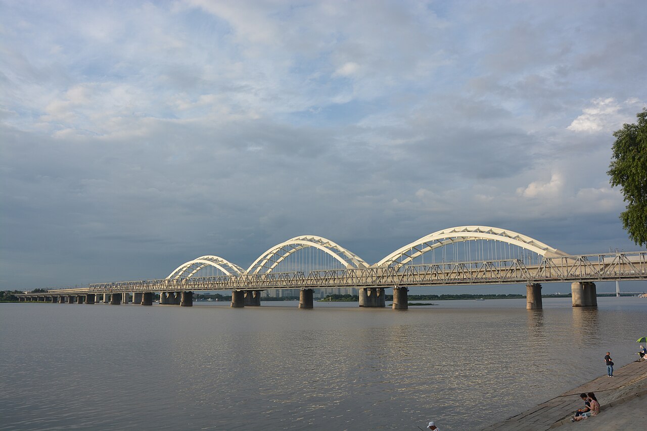
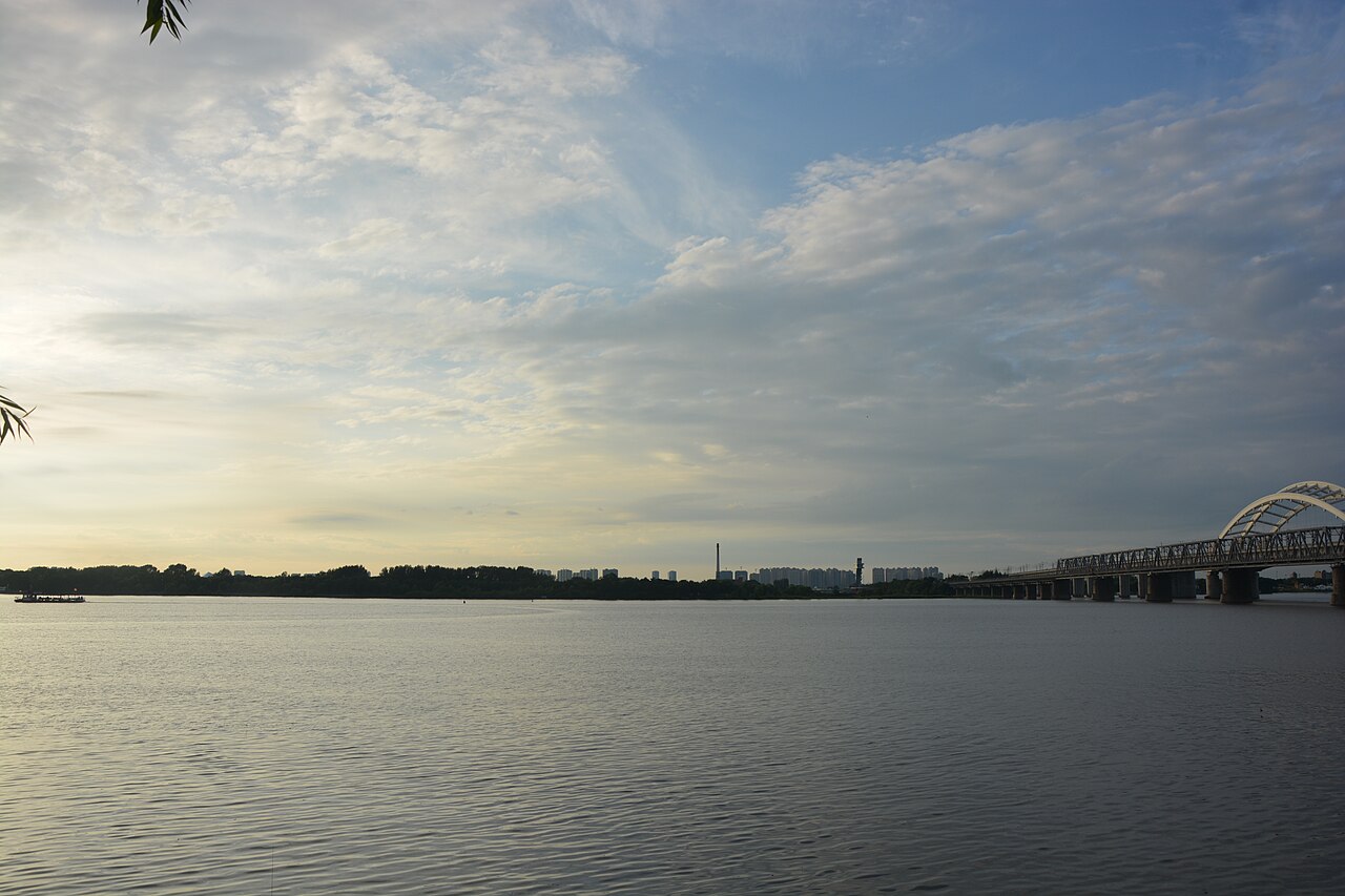
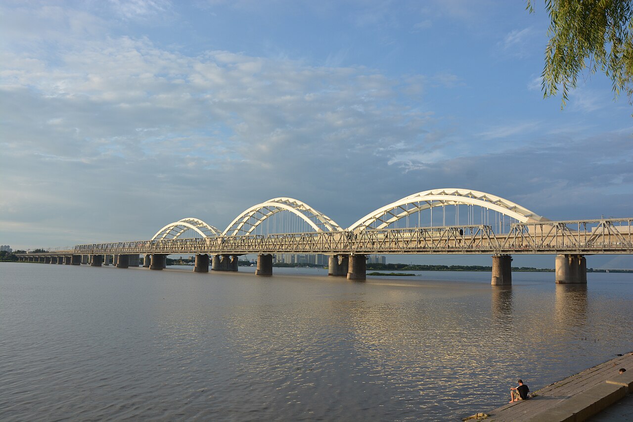
Frequently Asked Questions
Who is Songhua River?
The Songhua River—also called Sunghwa, Haixi, Xingal, or Sungari—is a major waterway in northeastern China and the longest tributary feeding into the Amur River. It stretches roughly 1,897 km from the Changbai Mountains down through Jilin and Heilongjiang provinces.
What is Songhua River's role in the broader river system?
As the longest tributary of the Amur, the Songhua drains a basin of about 557,180 km², making it one of China's primary rivers. Its annual discharge of roughly 76 to 82 cubic kilometers delivers a substantial volume of water into the Amur at their confluence.
Where does Songhua River's journey begin and where does it end?
The river originates just south of Heaven Lake near the China–North Korea border in the Changbai Mountains, and its course concludes where it merges with the Amur River at Tongjiang in Heilongjiang province.
Why is Songhua River important to fans of Chinese rivers?
It is a defining waterway of China's northeast, threading through major cities like Jilin, Harbin, and Jiamusi while sustaining one of the country's largest drainage basins. Its sheer length and discharge make it a standout entry in any catalog of rivers in the Amur basin system.
What are Songhua River's key stats at a glance?
The river measures 1,897 km (about 1,179 miles) in length, drains 557,180 km² of land, and releases between 76.2 and 81.77 km³ of water each year. These figures place it firmly among the largest rivers contributing to the Amur basin.
More in Rivers 1-16
Spotted an error? Know more?
This is a living reference — every entry is fact-audited, and reader corrections feed straight into our audit queue. Suggest an edit · See this site's audit record